Trolltunga (Tyssedal, Norway)
Trolltunga (in English, “Tongue of the troll”) is a unique rock formation that looms over Ringedalsvatnet Lake in Norway’s Vestland Municipality. As the name suggests, the rock is shaped like a large black tongue—a thin gneiss plateau that juts out horizontally from the edge of the cliff on which it rests. Unless you’ve been living under a rock (no pun intended) for the last 10 years, you’ve probably seen a picture of it on Instagram—likely captioned, “The mountains are calling and I must answer” or something similarly creative. It is one of those locations that, while impressive, grew famous on the internet mainly due to the fact that you can quite successfully condense the experience of being there into a single picture (which isn’t the case for all beautiful places).
Overview:
Distance: 13.4 miles (21.6 kilometers)
Elevation gain: 2,775 feet (846 meters)
Route type: Out-and-back
AllTrails: https://www.alltrails.com/trail/norway/vestland/skjeggedal-trolltunga?u=i
Note that the AllTrails route has you departing from the lower parking lot and therefore shows higher mileage and greater elevation gain.
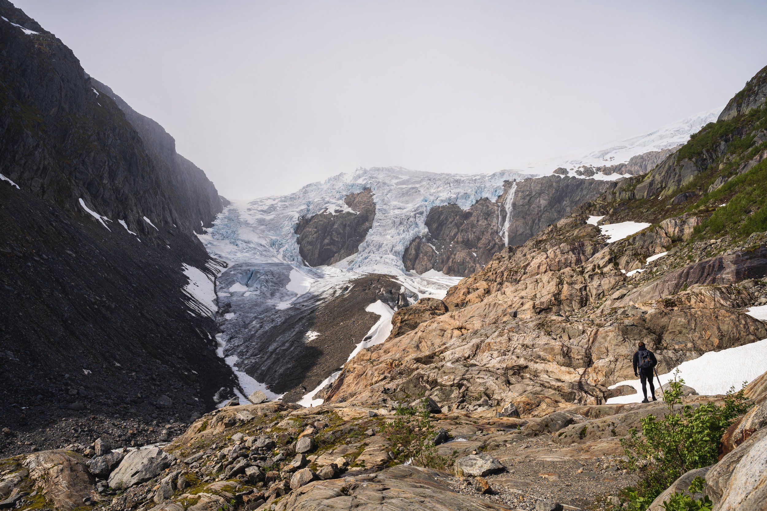
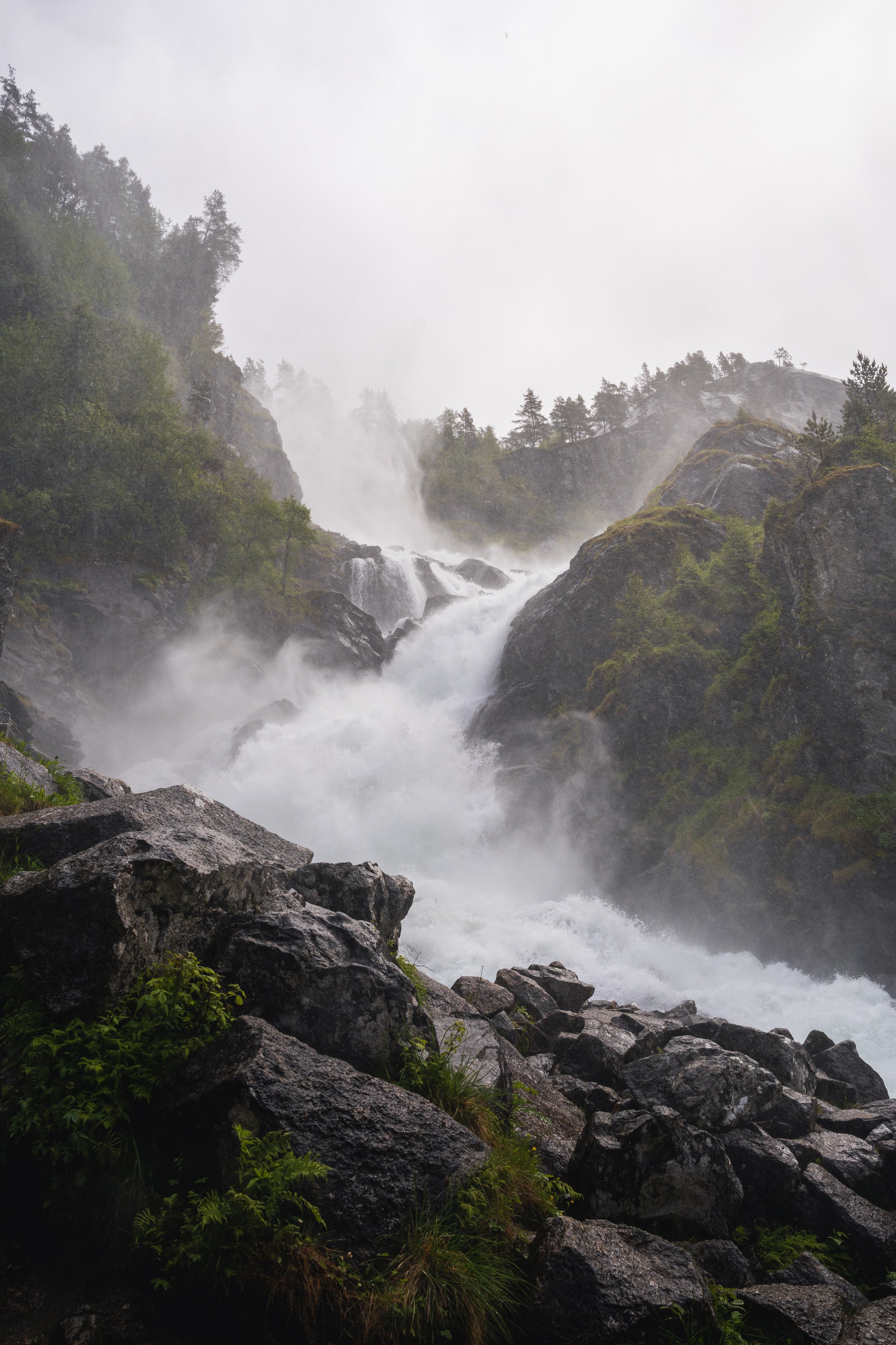
I did the hike with my fiancée in mid June during a two week road trip around Norway. Like many people who do the hike, we stayed in the neighboring town of Odda, which is a 45-minute drive from the trailhead. Odda is a small town that sits dramatically between two impressive bodies of water—Sandvinvatnet Lake to the south and Hardangerfjord to the north. Directly west is Folgefonna National Park, which features one of Norway’s largest glaciers. In short, despite being a small and sleepy town, there is no shortage of things to do and see in the neighboring areas. We stayed at Trolltunga Camping, a basic yet satisfactory hotel/campground on the southern edge of town. The weather in the area is highly unpredictable, so it helps to have a few days of buffer to ensure you don’t end up attempting the hike on a day of constant downpour. Due to the bleak weather outlook, we delayed our hike by a day, opting to explore the neighboring Buer glacier and waterfalls, and prayed that the rain gods would take pity on us.
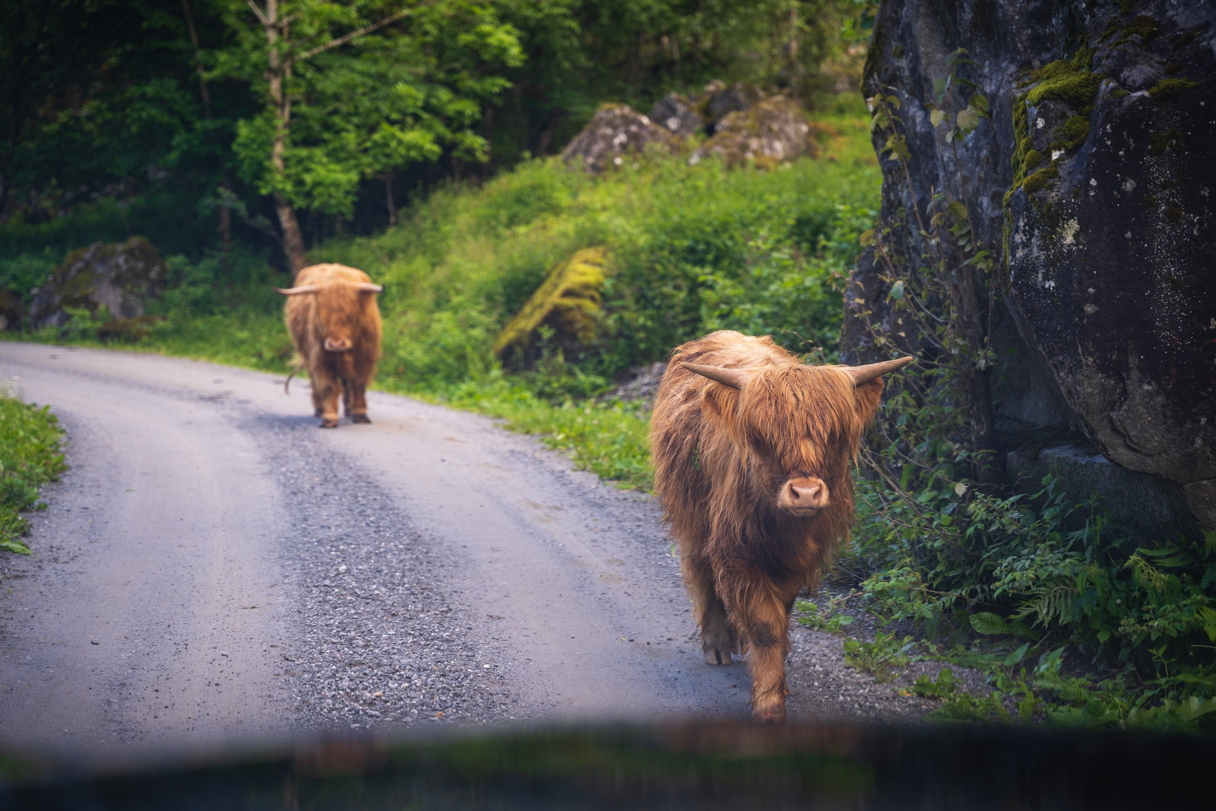
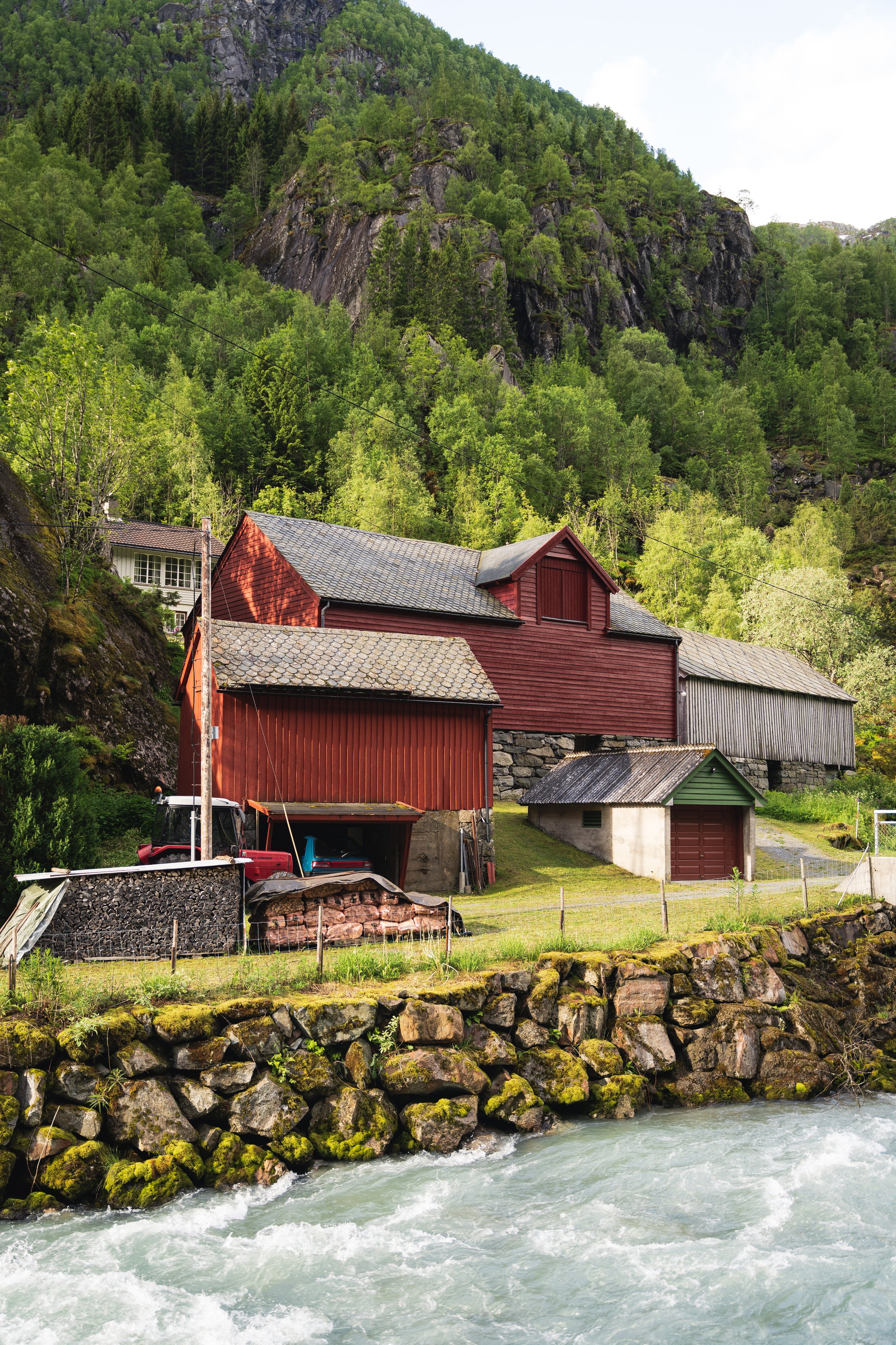
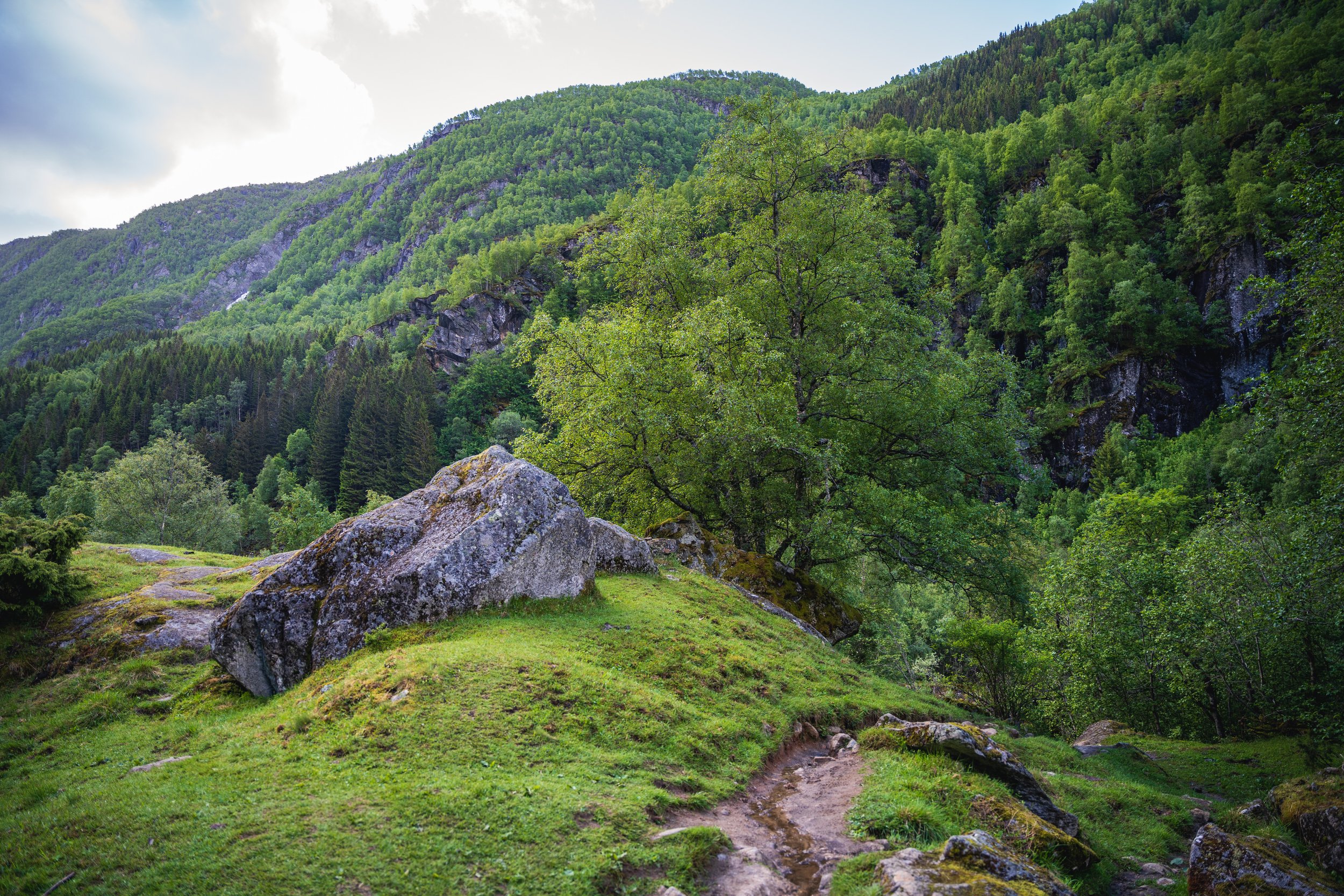
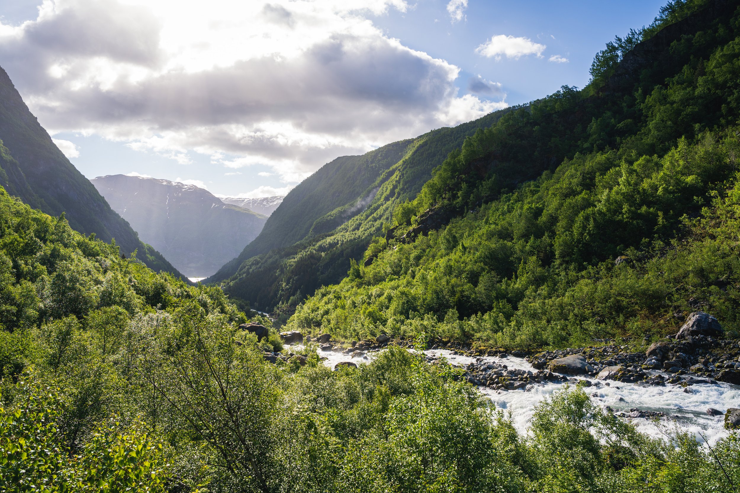
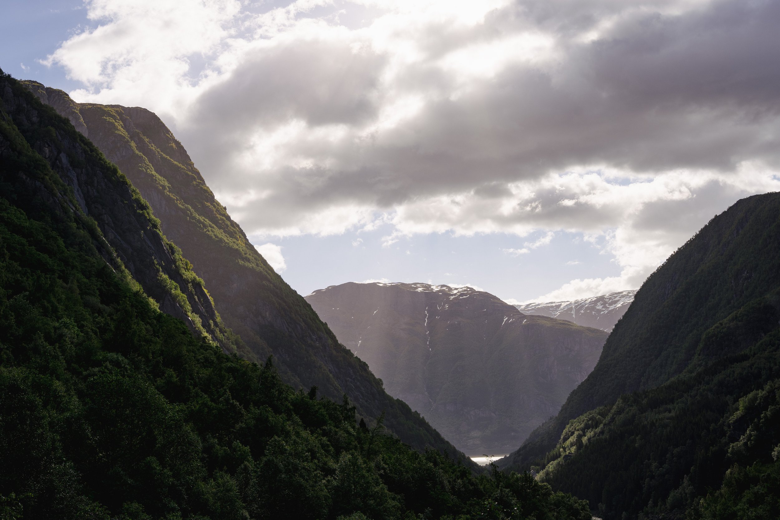
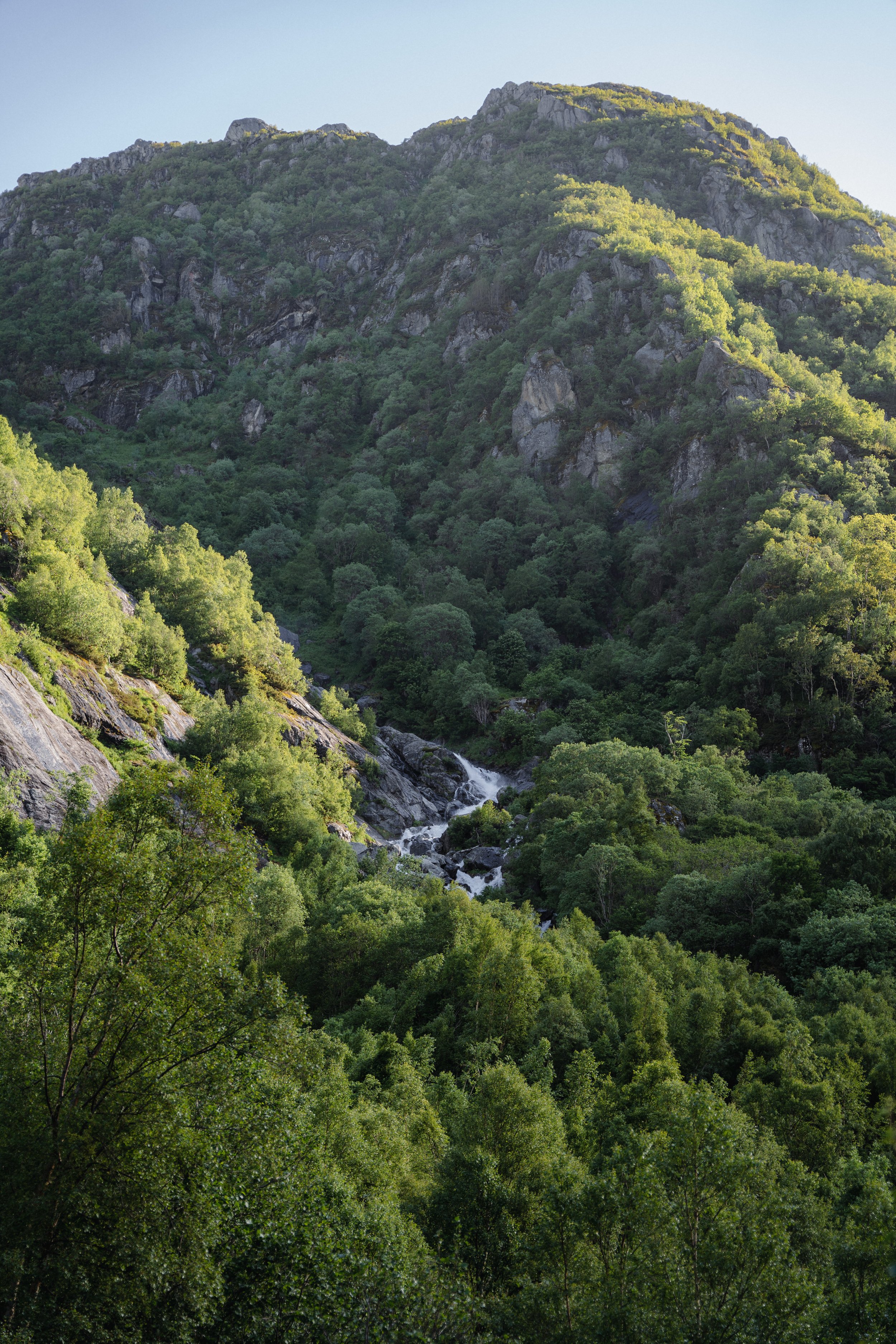
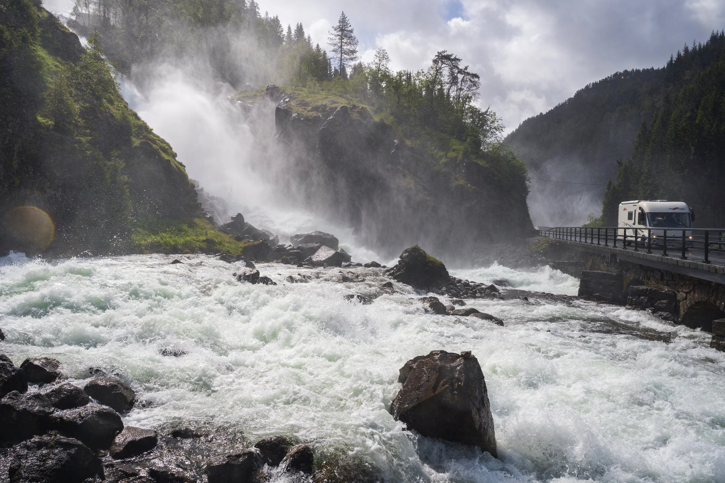
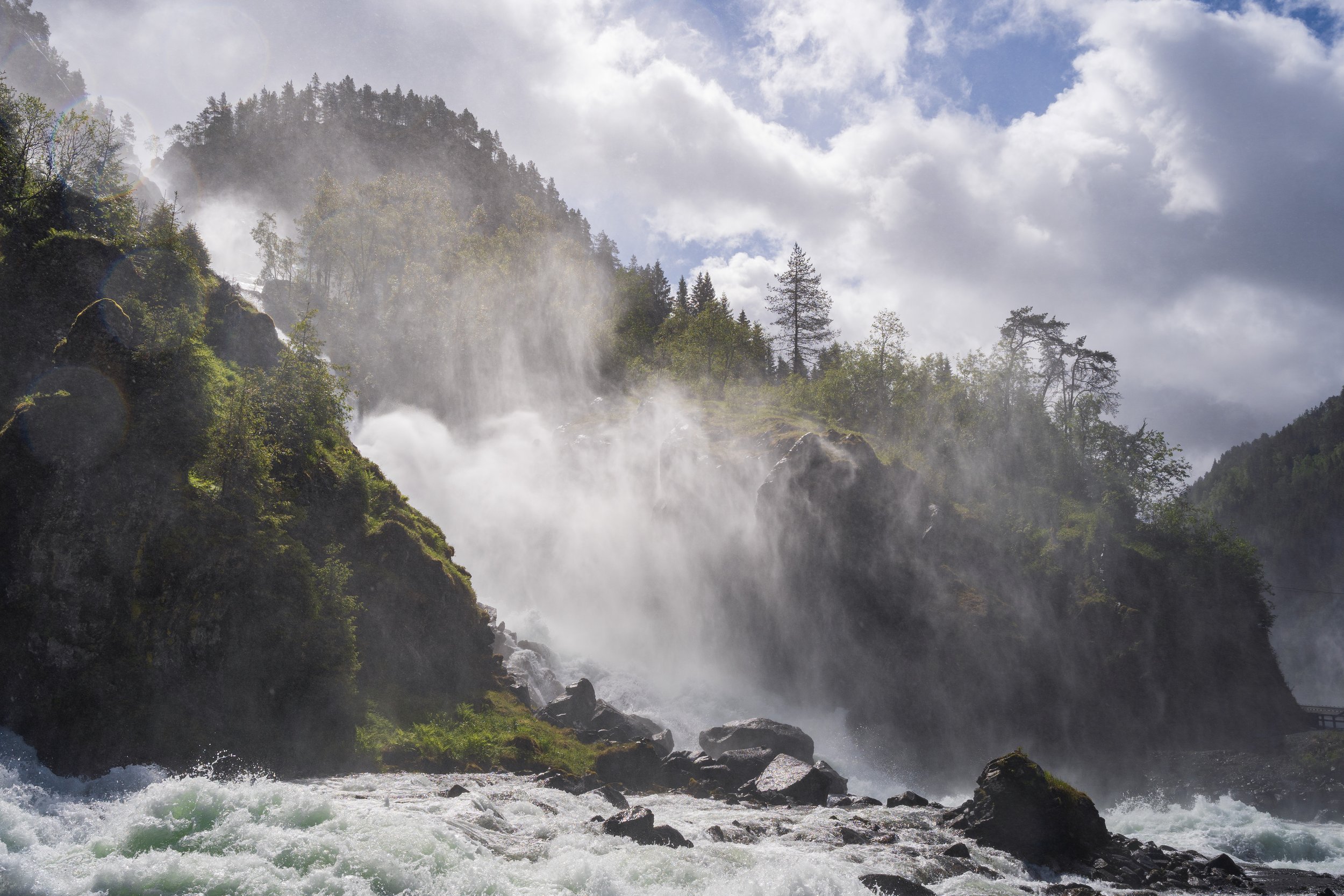
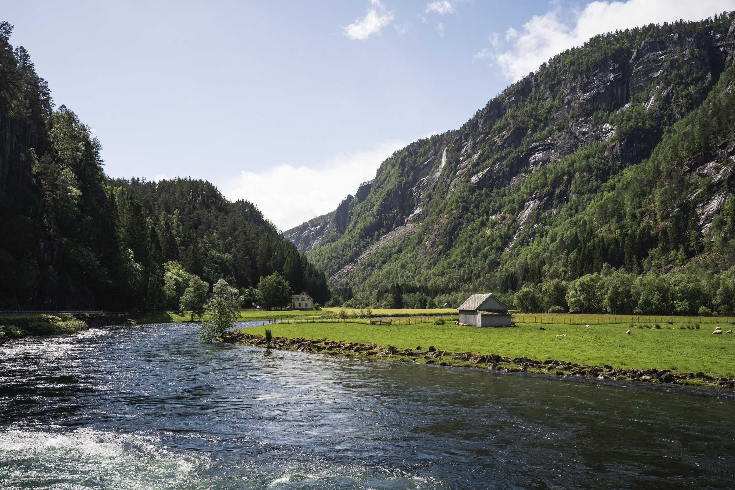
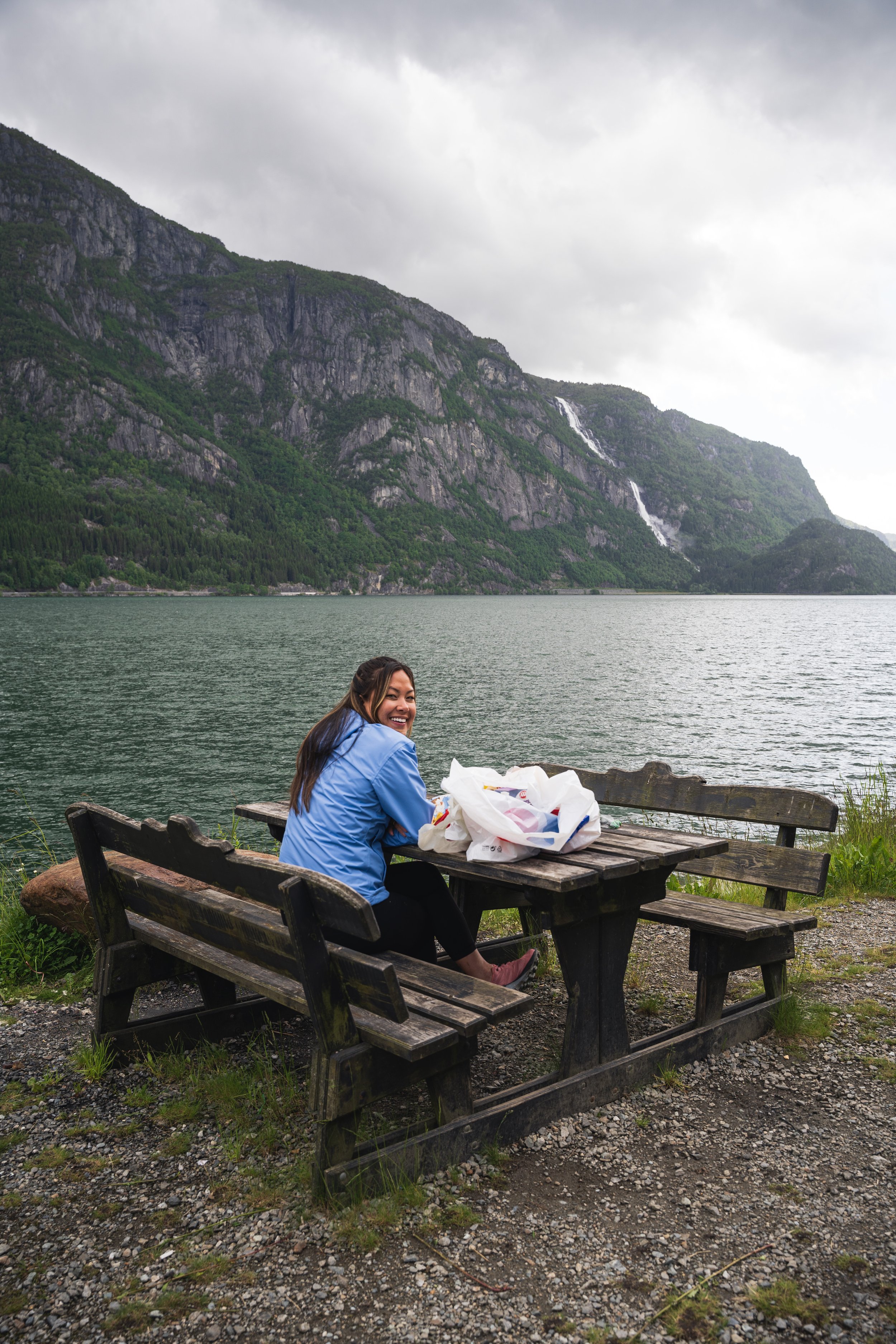
On the day of the hike, we had a quick breakfast of oatmeal before departing town at 6:00am. Like many routes in western Norway, the drive to Tyssedal is stunningly beautiful, meandering along the eastern shore of the Hardangerfjord. Once you reach Tyssedal, the road narrows and and carves eastward into the surrounding mountains. There are two options for parking—the lower lot (“Skjeggedal” or “P2”) or the upper lot (“Mågelitopp” or “P3”). Parking at the lower lot adds an extra few miles of hiking, mainly on roads, and considerable elevation gain. We opted to park at the upper lot, which set us back 700NOK (67USD) for parking and 200NOK (19USD) for road toll. A pretty absurd amount to pay for the privilege of parking in a gravel lot, but fairly on-brand for Norway, where a mediocre cheeseburger will set you back 20 dollars. From the parking lot, a brief ascent brought us to a wide expanse dotted with streams and small wooden shelters.
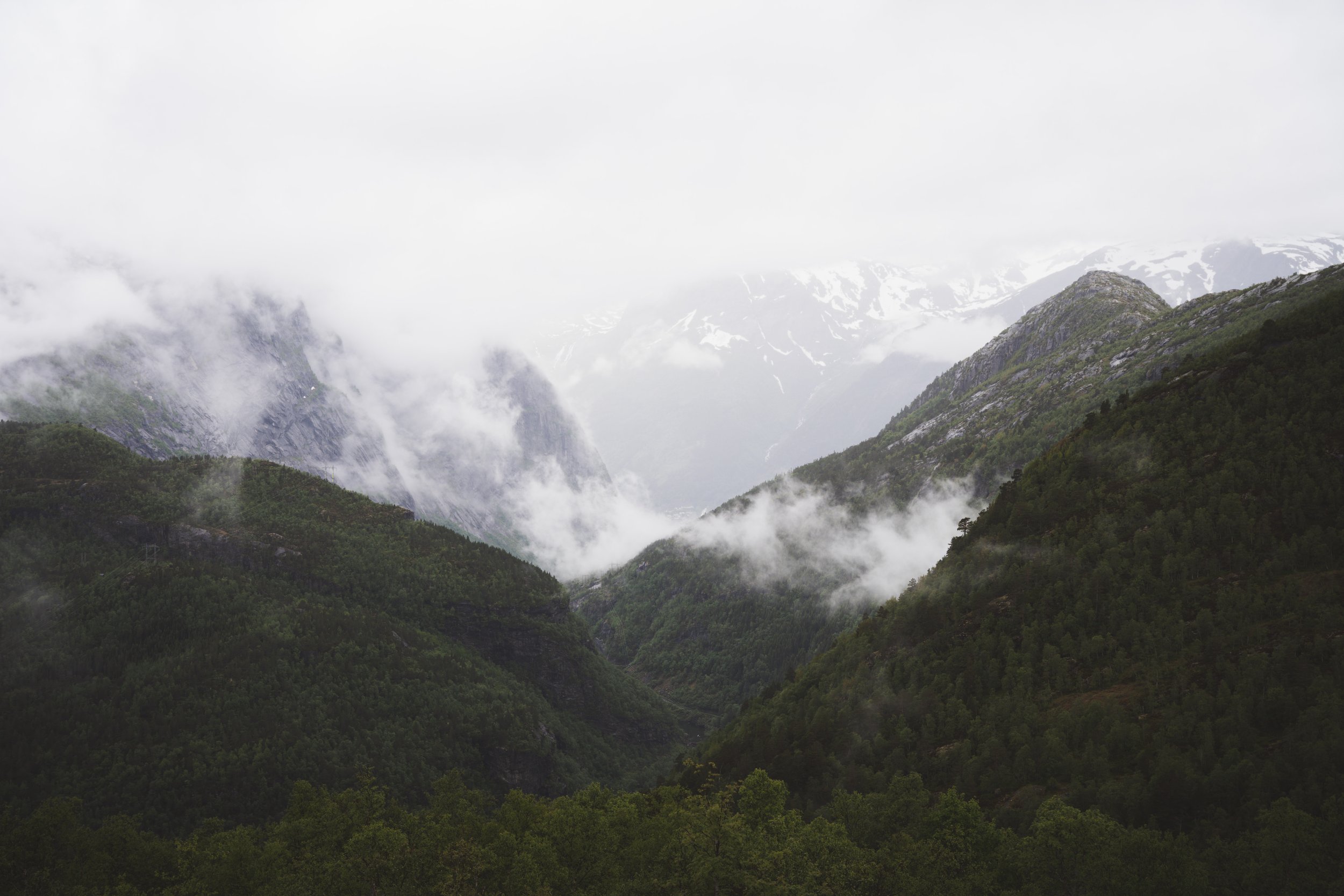
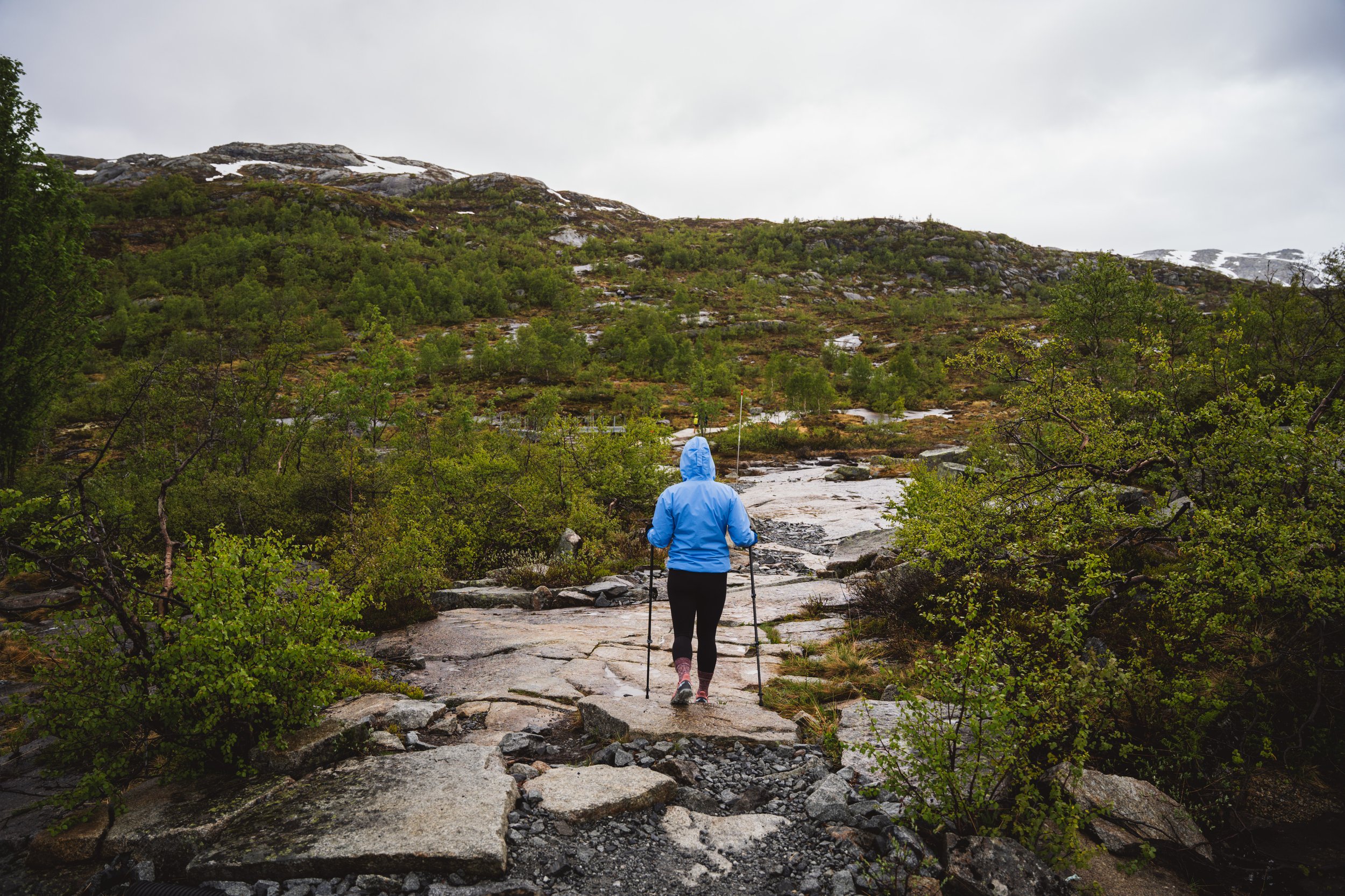
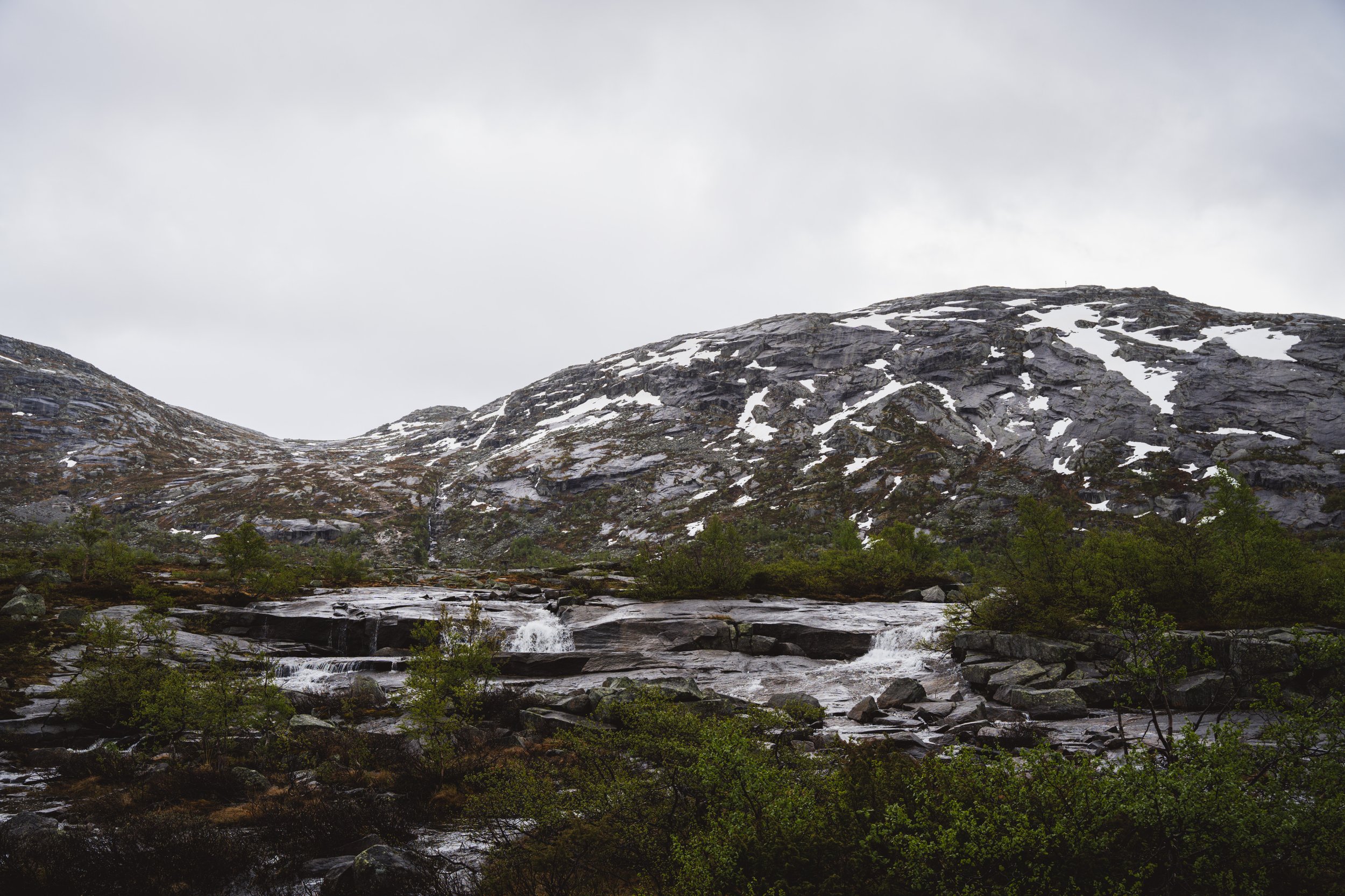
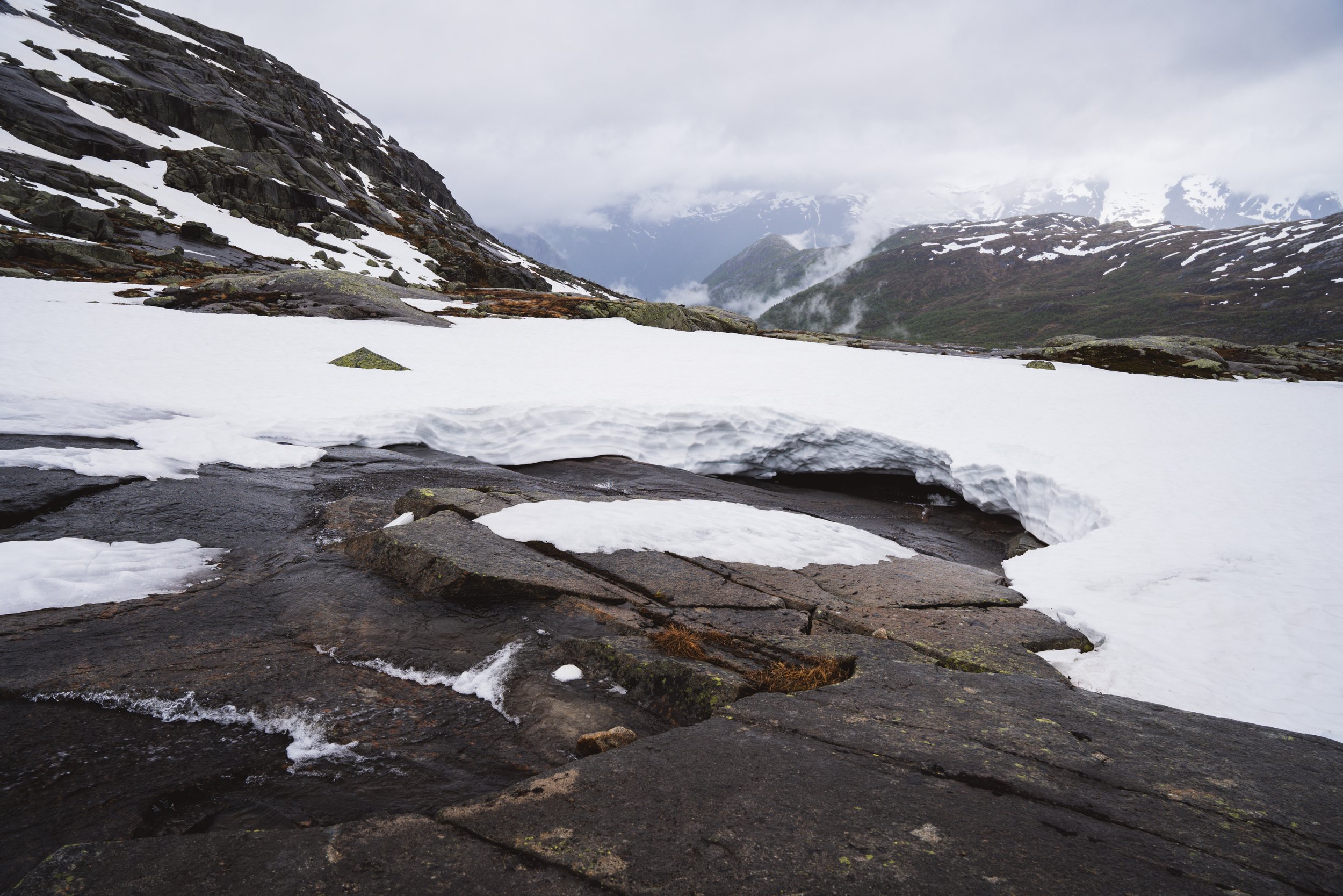
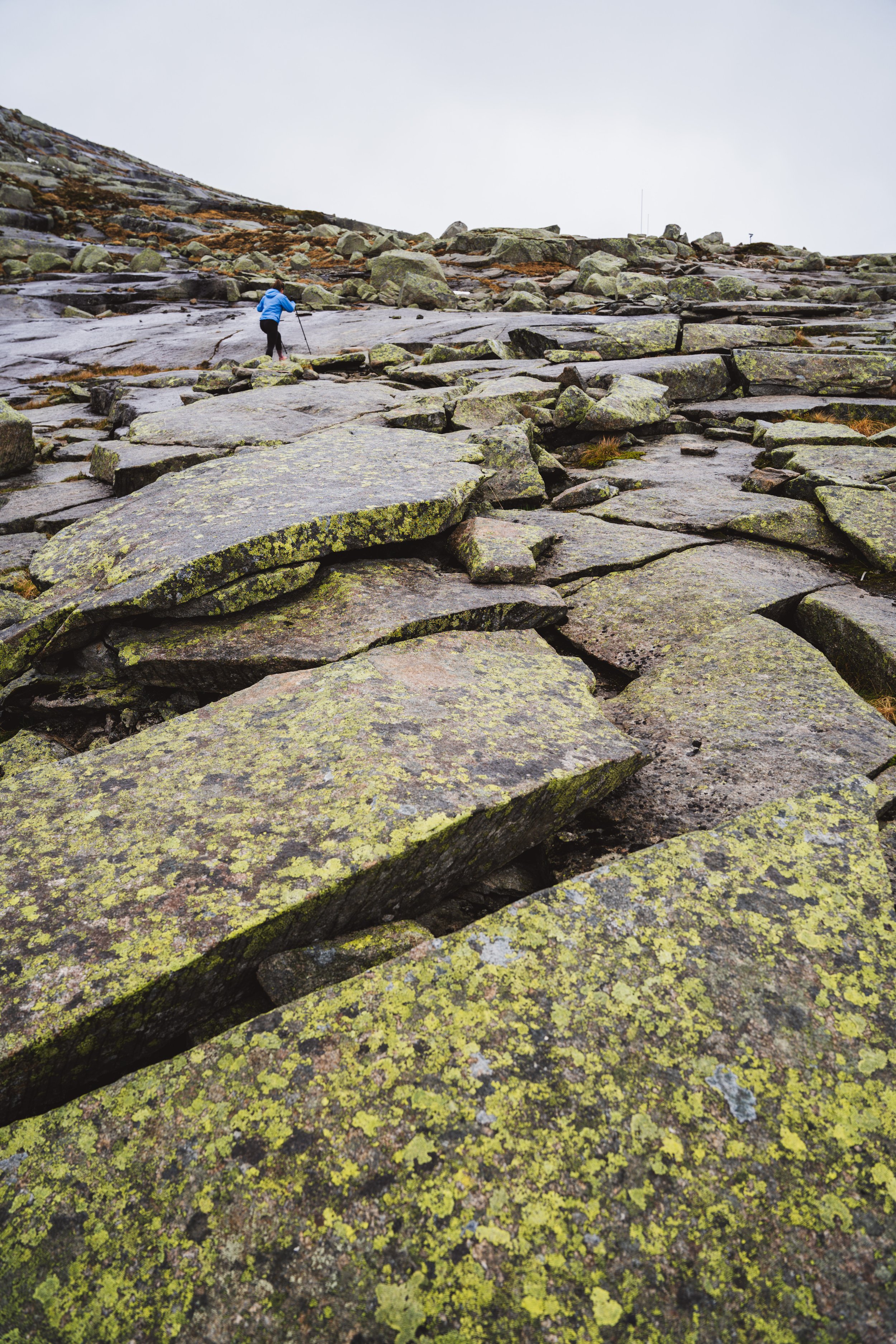
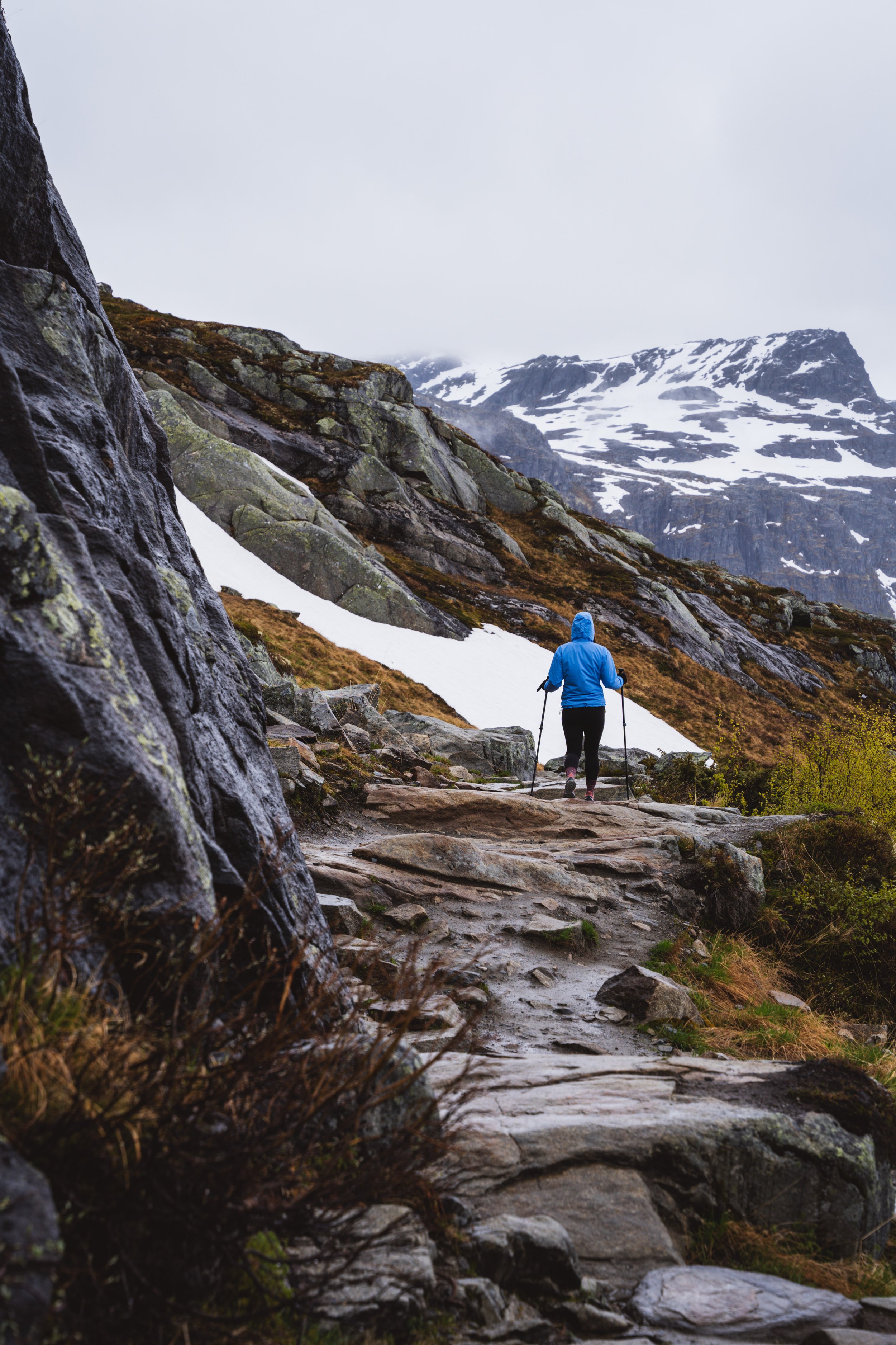
After a mile of hiking we reached the main ascent of the trail. This is the steepest section, covering 1,000 feet of elevation in roughly a mile of distance. Much of this stretch traverses over large slabs of rock (pictured above), with only cairns to mark the trail. It’s not particularly technical, but requires good traction to handle the steepness. Small streams, formed by snow melt, cascaded over the rocks and flowed into the snow pack. Once we reached the top of the ascent, the next two miles were completely covered in a few feet of wet snow. Having come directly from Greece with only 48L packs, we were fairly unprepared for the wet conditions. My Merrell Trail Glove shoes quickly reached saturation from the slush underfoot and the slight drizzle. Two miles from the top of the ascent we reached the ridge of Ringedalsvatnet Lake and were greeted with epic view of the surrounding mountains. Obsidian black slabs, dotted with snow, rose vertically from the base of the lake. The dark rain clouds overhead created a dark and moody atmosphere.
Once you reach the ridge line, the path flattens and the remaining three miles gently slope along the perimeter of the lake. This was the most rewarding section of the hike—easy terrain with impressive views of the lake and surrounding mountains. Certain sections required hiking through wet snowpack while others traversed over boulders covered in rust-colored grass. We reached the tongue after three hours of total hiking time, at which point only around five people were waiting there. We had read online that during peak season the line of people taking pictures can reach up to 2-3 hours. Given that, we appreciated the relative solitude we were able to enjoy at the top. The rock formation, while impressive, only really looks cool from one angle. We took some pictures and enjoyed our lunch while overlooking the valley. The way down was long but fairly uneventful. We passed by quite a few guided tour groups of 6-10 people, so I imagine the tongue got quite busy in the afternoon.


